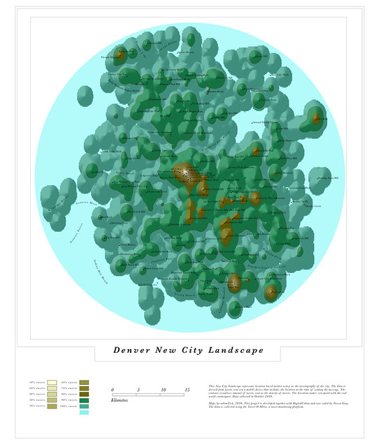
As usual the green areas and parks are generally empty of tweets. There is however one example in Denver where people have tweeted quit a bit, the denver Standley Lake Peak was a sort of surprise. Can be found on the map towards the top eft, just below the Rocky Mountain Airport Plains.
Denver New City Landscape
Image by single-blogs using the GMap Image Cutter / Denver New City Landscape -Use the Google Maps style zoom function in the top right corner to zoom into the map and explore it in detail. Explore areas you know close up and find new locations you have never heard of. Click HERE for a full screen view.
I am presenting some of the twitter work today at the GSA Annual Meeting 2010 in Denver. It is a session on community remote sensing organised by Suzanne Metlay and William Gail as of GSA Geoinformatics Division; GSA Geoscience Education Division; GSA Geology and Society Division; Secure World Foundation. A presentation preview can be found below:
As usual the maps are also in the tweetography flickr set together with al the previously published maps.

Tidak ada komentar:
Posting Komentar